Floodplain Requirements Planning a new home, commercial property, addition, driveway, or other development in New Braunfels or Comal County requires more than checking property boundaries and setbacks. New Braunfels and Comal County floodplain overlay rules can affect where you build, how high a structure must be elevated, how drainage is handled, and what documentation may be required before construction. Floodplain conditions can influence building placement, finished floor elevation, foundation design, access, utilities, grading, and other site improvements.
A property does not have to sit directly beside a river or creek to require floodplain review. FEMA flood maps, local floodplain regulations, drainage patterns, waterways, topography, and site-specific conditions can all affect development. Reviewing these factors early can help you establish a practical building area before architectural and construction plans are finalized.
What Is a Floodplain Overlay?
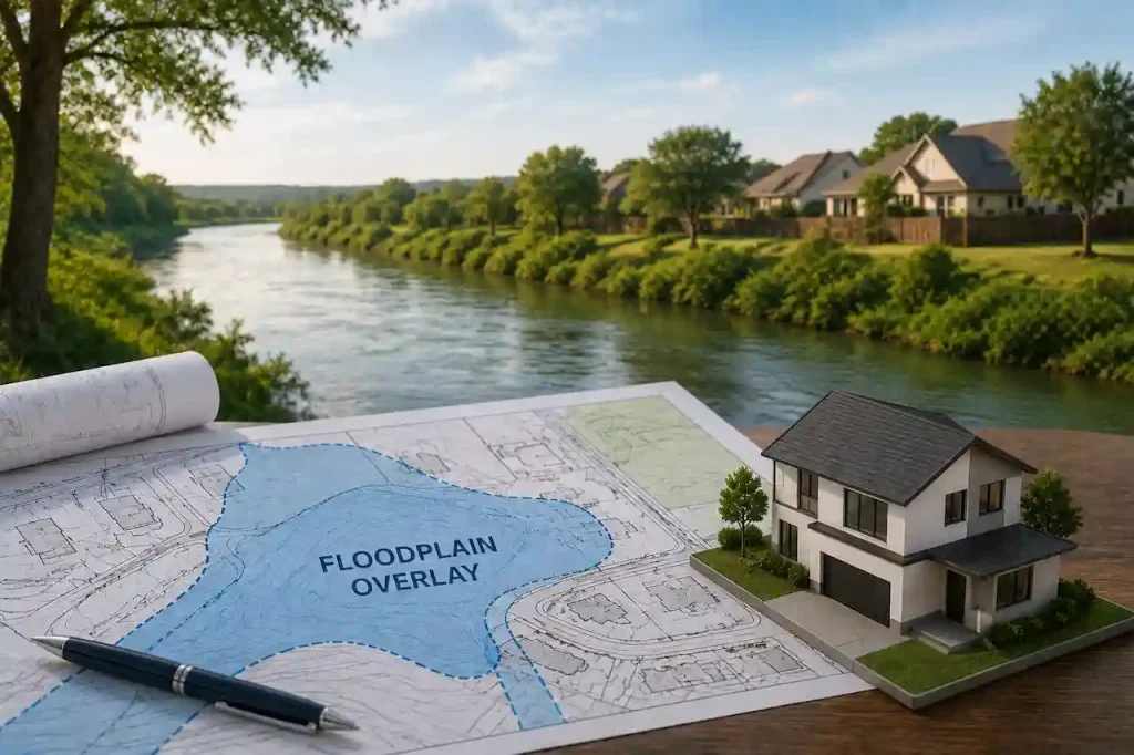
A floodplain overlay is an additional layer of development requirements that applies to property located within or affected by designated flood-risk areas. These requirements work alongside applicable building codes, subdivision regulations, drainage standards, development rules, and other local requirements.
Floodplain regulations are intended to reduce flood risks and help control the effects development can have on people, structures, drainage systems, and surrounding properties. For site planning, this means the mapped floodplain can become a significant site constraint.
A property may appear large enough for a proposed home when viewed only by its boundaries. Once floodplain areas, setbacks, easements, access, and drainage features are considered, the practical building area may be considerably smaller.
Why Floodplain Rules Matter in New Braunfels and Comal County
New Braunfels and Comal County contain numerous waterways, drainage channels, creeks, and areas subject to flood risk. Conditions can vary significantly between properties, even when two sites are located relatively close to one another.
A floodplain review can affect:
- Building location
- Finished floor elevation
- Foundation design
- Driveway placement
- Site access
- Drainage
- Utilities
- Retaining walls
- Grading
- Parking
- Landscaping
- Other site improvements
The applicable requirements may also differ depending on whether a property is inside the City of New Braunfels, in unincorporated Comal County, or under another jurisdiction. Confirming the property’s jurisdiction should therefore be one of the first steps in the planning process.
What Are FEMA Flood Zones?
The Federal Emergency Management Agency, or FEMA, publishes flood maps that identify areas with different levels of flood risk. These maps are an important starting point when evaluating whether a property may be affected by floodplain requirements.
Common flood zone designations include:
- Zone A
- Zone AE
- Zone X
- Other mapped flood-risk classifications
The designation shown on a FEMA map can influence the level of review required for a project. However, FEMA mapping should not automatically be treated as the only source of information. Local jurisdictions may impose additional requirements, and property-specific studies, surveys, elevation information, or updated mapping may affect the final development review. A map should help you begin the investigation, not replace property-specific analysis.
Does Being Outside the Floodplain Mean There Are No Drainage Issues?
No. A property outside a mapped floodplain can still experience significant drainage problems. Stormwater can move onto a property from higher ground, neighboring properties, roads, drainage channels, or other areas. Low points can also collect water during heavy rainfall.
For this reason, a site plan should consider more than the FEMA flood zone boundary. The property’s topography, existing drainage patterns, structures, access points, and proposed grading should also be evaluated.
For example, a home may sit outside a mapped floodplain while its proposed driveway crosses a natural drainage path. If that condition is discovered after the design is complete, the driveway or grading plan may need to be revised.
How Floodplain Conditions Affect a Site Plan
A site plan establishes how proposed improvements will be positioned on the property. When floodplain conditions exist, the plan may need to show additional information related to flood risk, elevations, drainage, and development limitations. Depending on the project, a site plan may show:
- Property boundaries
- Existing structures
- Proposed structures
- Floodplain boundaries
- Setbacks
- Building lines
- Easements
- Driveways
- Parking areas
- Utilities
- Drainage features
- Building elevations
- Grading information
- Other proposed improvements
Floodplain boundaries should be located using reliable information rather than estimated visually from an online map. A current survey and appropriate technical information provide a stronger basis for detailed site planning.
Floodplain and Building Placement
One of the first questions for a flood-prone property is where the proposed structure can safely and legally be placed.
The available building area may be reduced by a combination of:
- Floodplain boundaries
- Property setbacks
- Easements
- Building lines
- Utility corridors
- Existing structures
- Access requirements
- Drainage features
A property owner may need to adjust the building footprint, orientation, or location to create a workable design. For example, shifting a proposed home can help maintain required separation from a floodplain area while preserving driveway access and usable outdoor space. These decisions are easier and less expensive to make before architectural drawings and engineering documents are finalized.
Finished Floor Elevation
Finished floor elevation can be a critical consideration for buildings located in or near regulated flood areas. The finished floor is the elevation of the completed floor surface. Depending on the applicable flood zone and local requirements, a project may need to meet a specified elevation or provide documentation demonstrating compliance. Elevation requirements can affect:
- Foundation design
- Building height
- Steps
- Ramps
- Driveway slopes
- Accessibility
- Utility connections
- Drainage around the structure
You should not assume that an elevation used for another property will apply to your project. The required elevation depends on the property’s location, flood conditions, applicable regulations, and project characteristics.
Floodplain and Foundation Design
Flood conditions can influence the foundation system selected for a structure. The appropriate foundation depends on the building design, site elevation, soil conditions, flood requirements, engineering considerations, and applicable construction standards. Depending on the project, foundation planning may involve:
- Slab-on-grade systems
- Pier and beam systems
- Elevated foundations
- Reinforced foundation components
- Flood-resistant construction measures
Structural design should be coordinated with the architectural site plan and floodplain requirements. The foundation cannot be considered separately from the site’s elevation, drainage, and proposed building location.
Driveways and Access
Floodplain conditions can also affect driveway design and site access. A property may have sufficient space for a home but limited room for a practical driveway because of:
- Floodplain boundaries
- Steep grades
- Drainage channels
- Culverts
- Road elevations
- Easements
- Required access routes
A driveway should therefore be evaluated at the same time as the building location. For residential projects, a residential site plan can show the relationship between the home, garage, driveway, parking areas, property boundaries, and other site constraints.
Drainage and Grading Considerations

Changing the elevation of land can change how stormwater moves across a property. Fill, grading, retaining walls, paved areas, and other site modifications may affect drainage patterns and neighboring properties. Depending on the project, additional drainage analysis, engineering documentation, or approvals may be required. The goal is to identify drainage issues during planning rather than after construction begins. A complete site plan should therefore consider existing and proposed drainage conditions instead of showing only the building footprint.
Floodplain Regulations and Commercial Projects
Commercial developments can create additional site-planning challenges because they often require larger buildings, parking areas, access drives, loading areas, sidewalks, utilities, and drainage infrastructure.
A commercial site plan can help organize these elements while accounting for floodplain boundaries and other property constraints. Larger projects may require coordination between site planning, drainage engineering, civil engineering, utility planning, and other technical disciplines. The applicable requirements should be evaluated according to the property’s location, proposed use, size, flood conditions, and local review process.
What Documents Should You Review?
Before preparing final construction plans, collect as much property information as possible. Useful documents may include:
- Current property survey
- Recorded subdivision plat
- FEMA flood map information
- Topographic survey
- Existing site plans
- Easement documents
- Previous permits
- Drainage studies
- Elevation information
- Deed restrictions
- Local development requirements
A current survey is particularly useful because it provides information about the actual property, including boundaries, improvements, easements, and other physical conditions. Online mapping tools can support initial research, but they should not replace property-specific documentation when precise site planning is required.
How to Check Floodplain Requirements
Start with the property’s exact location and jurisdiction.
1. Confirm the Jurisdiction
Determine whether the property is inside New Braunfels, within unincorporated Comal County, or under another local authority.
2. Review Floodplain Mapping
Check current FEMA and applicable local floodplain information to determine whether the property is within a mapped flood-risk area.
3. Obtain a Current Survey
Use a current survey to identify property boundaries, easements, structures, elevations, and other site conditions.
4. Identify the Building Area
Determine where the proposed home or commercial structure can fit after accounting for floodplain boundaries, setbacks, easements, access, and other restrictions.
5. Review Elevation Requirements
Determine whether the structure must meet a specific elevation or additional flood-resistant construction requirements.
6. Evaluate Drainage and Access
Review driveway grades, drainage paths, culverts, utilities, and other features that may affect the project.
7. Prepare the Site Plan
Show the proposed development accurately and coordinate the layout with applicable requirements.
8. Complete Required Reviews
Submit required documents to the applicable local authorities and obtain necessary approvals before construction. A professional site plan review can help identify potential conflicts before the project reaches construction.
Common Floodplain Planning Mistakes
Assuming the FEMA Map Is the Entire Review
FEMA maps are important, but local regulations and property-specific information can also affect development.
Designing the House First
Finalizing the home layout before checking floodplain boundaries, elevations, and site constraints can result in expensive redesigns.
Ignoring Elevation
A building may fit horizontally on a property while still failing to satisfy applicable elevation requirements.
Forgetting the Driveway
The proposed home location may work while the driveway creates drainage, grade, or access problems.
Ignoring Easements
Easements can reduce the usable building area and restrict buildings, driveways, utilities, or other improvements.
Treating Drainage as an Afterthought
Drainage and grading should be evaluated during site planning instead of after the building location has been finalized.
Using an Old Survey
Property conditions and improvements can change. A current survey provides a more reliable foundation for design decisions.
How to Plan a Floodplain-Affected Property
Start by identifying the property’s major constraints before committing to a final building layout. Review the survey, floodplain information, easements, setbacks, access, topography, and existing site conditions.
Next, establish the practical building envelope. Place the proposed home or commercial building within that area, then evaluate the driveway, parking, utilities, drainage, patios, and other improvements.
This approach allows the design to respond to the actual property. It can also reveal problems while changes are still relatively easy to make.
Final Thoughts
Floodplain conditions can significantly affect site planning in New Braunfels and Comal County. A property that appears suitable for development may have constraints involving floodplain boundaries, finished floor elevations, drainage, access, foundations, easements, grading, or other site conditions.
The best approach is to evaluate these factors before finalizing architectural and construction plans. Confirm the jurisdiction, review current floodplain information, obtain reliable property documentation, evaluate elevations and drainage, and prepare a site plan based on the actual conditions.
Floodplain requirements can vary by location and project type and may change over time. Always confirm current requirements with the applicable local authority and qualified professionals before beginning construction or relying on a floodplain determination.
Frequently Asked Questions
Does every property in New Braunfels have floodplain restrictions?
No. Floodplain conditions vary by property. Check current FEMA mapping and applicable local information for the specific property instead of assuming that a citywide requirement applies.
Is Comal County entirely within a floodplain?
No. Flood risk varies throughout the county. Some properties may be outside mapped flood zones, while others may be affected by floodplain or drainage requirements.
Can I build in a floodplain?
Development may be possible in some floodplain areas, but additional requirements can apply. Building placement, elevation, foundation design, drainage, and permitting should be evaluated for the specific property.
Does FEMA determine all floodplain requirements?
FEMA flood maps are an important source of flood-risk information, but local jurisdictions can establish additional requirements. Check the applicable local regulations before finalizing a project.
Do I need a site plan for a floodplain property?
A site plan is often useful for evaluating and documenting development. Exact requirements vary by project and jurisdiction, but accurate site planning becomes especially important when floodplain conditions limit the building area.
Can a floodplain affect my driveway?
Yes. Floodplain boundaries, drainage paths, road elevations, grades, culverts, easements, and access requirements can affect where and how a driveway is designed.
What is finished floor elevation?
Finished floor elevation is the elevation of the completed floor surface of a building. Applicable floodplain requirements may establish minimum elevation standards for certain structures.
Can I place a home partly inside a floodplain?
The answer depends on the specific flood zone, local requirements, building design, and required approvals. A property-specific review should be completed before deciding where the home will be located.
What documents should I provide for floodplain site planning?
A current survey, recorded plat, floodplain information, topographic data where available, easement information, existing plans, and proposed building information can help establish the property’s constraints.
How can I avoid floodplain-related design problems?
Review floodplain information, elevations, drainage, easements, access, and local requirements before finalizing the building layout. Preparing the site plan early can identify conflicts before construction documents are completed.
Can floodplain requirements affect commercial development?
Yes. Commercial projects can involve larger buildings, parking areas, access drives, utilities, and drainage improvements, all of which may require additional floodplain and site-development review.